
First slide label
Some representative placeholder content for the first slide.
Second slide label
Some representative placeholder content for the second slide.

Third slide label
Some representative placeholder content for the third slide.
Second slide label
Some representative placeholder content for the second slide.
Second slide label
Some representative placeholder content for the second slide.
Second slide label
Some representative placeholder content for the second slide.

About The Web-GIS Application
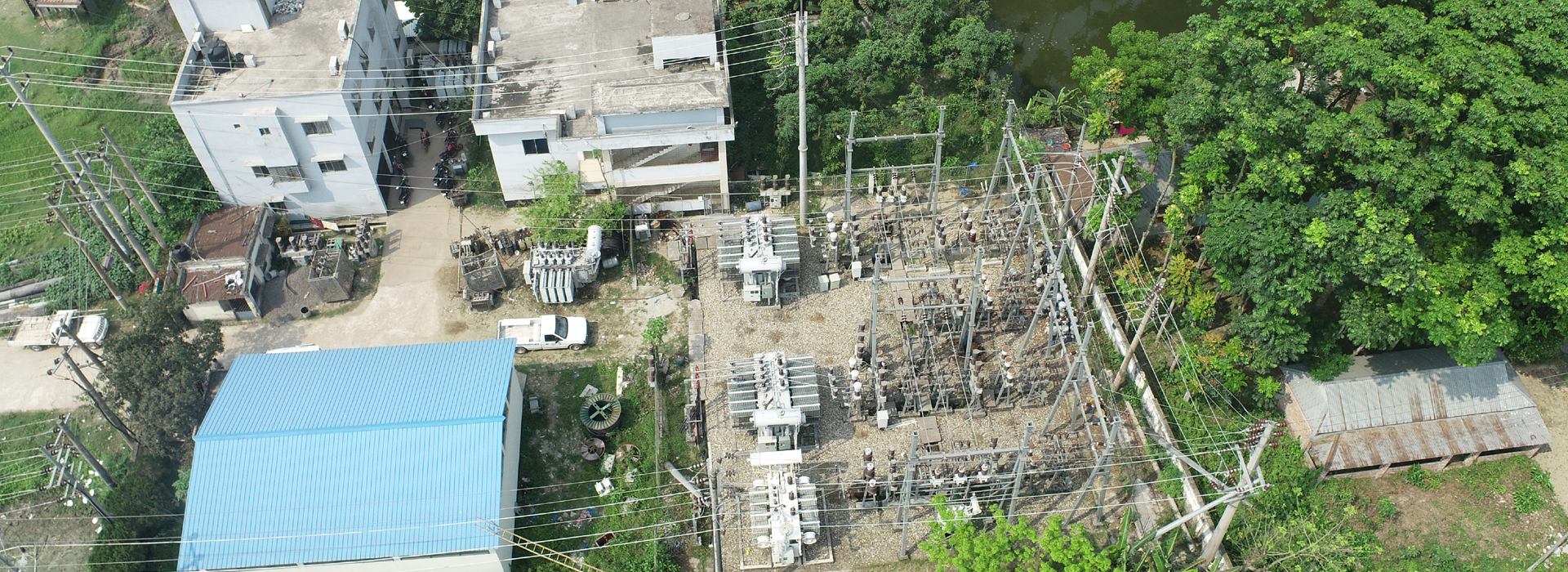
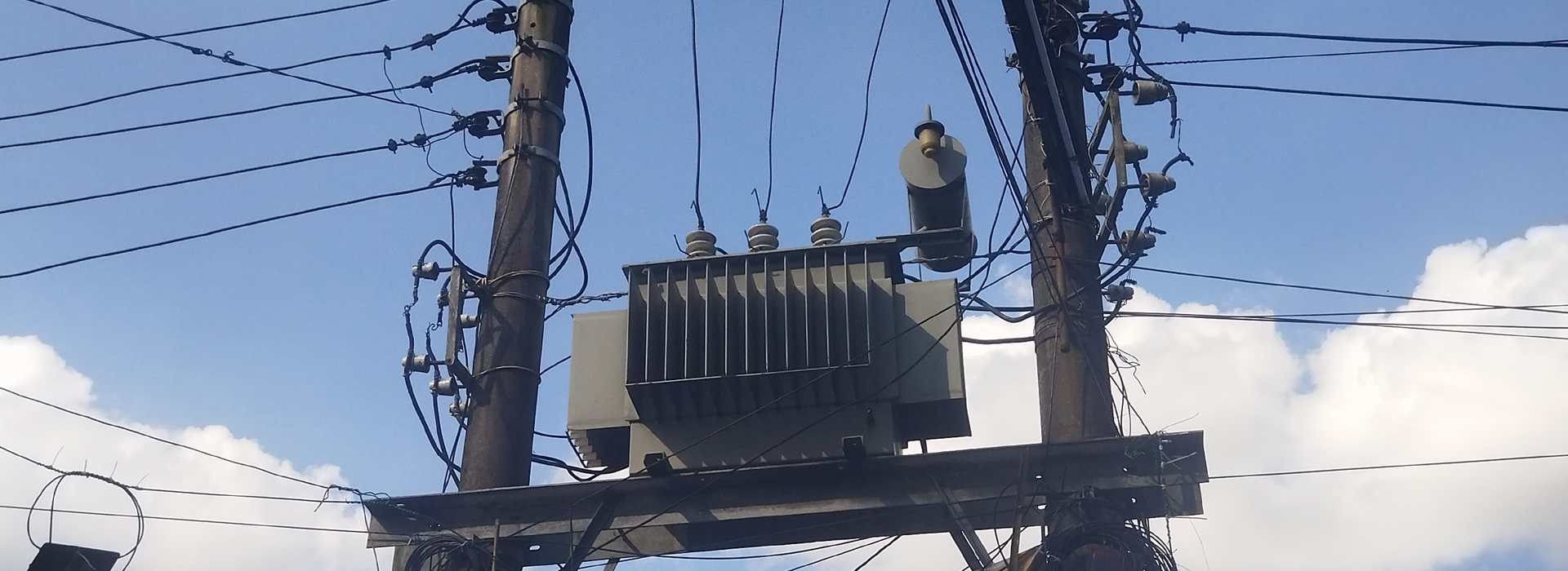
The Web-GIS Application of the Bangladesh Power Development Board (BPDB) is an advanced, automated platform developed to modernize and optimize the management of the nation’s electrical distribution network and associated infrastructure. By seamlessly integrating spatial and non-spatial datasets, the system provides BPDB professionals with powerful tools to visualize, query, and update critical information on feeder lines, poles, transformers, substations, switching stations, and consumer connections. The application is structured around six core modules—Data Searching & Querying, Data Entry, Reports, Map Viewer, Complaint Management, and User Management—each designed to streamline workflows, enhance operational efficiency, and improve service delivery. Equipped with an interactive map viewer, robust data management functionalities, and secure user authentication mechanisms, the platform not only ensures accuracy and transparency in asset management but also strengthens BPDB’s capacity to address consumer demands, plan infrastructure development, and support data-driven decision-making. Furthermore, the system has been integrated with both postpaid and prepaid consumer data management systems, enabling the analysis and visualization of billing information. Collectively, these features position the Web-GIS Application as a pivotal step in BPDB’s digital transformation journey, fostering greater efficiency, accountability, and reliability across the power sector.

Searching & Query
The Data Searching & Query module has been developed to search and visualize information in different formats such as table, chart and map.

Data Entry
The Data Entry module facilitates BPDB professionals to add or modify the electrical asset information in an efficient-way.

Report
The Report Module is responsible for generating dynamic and customized reports on various electric components.

Map Viewer
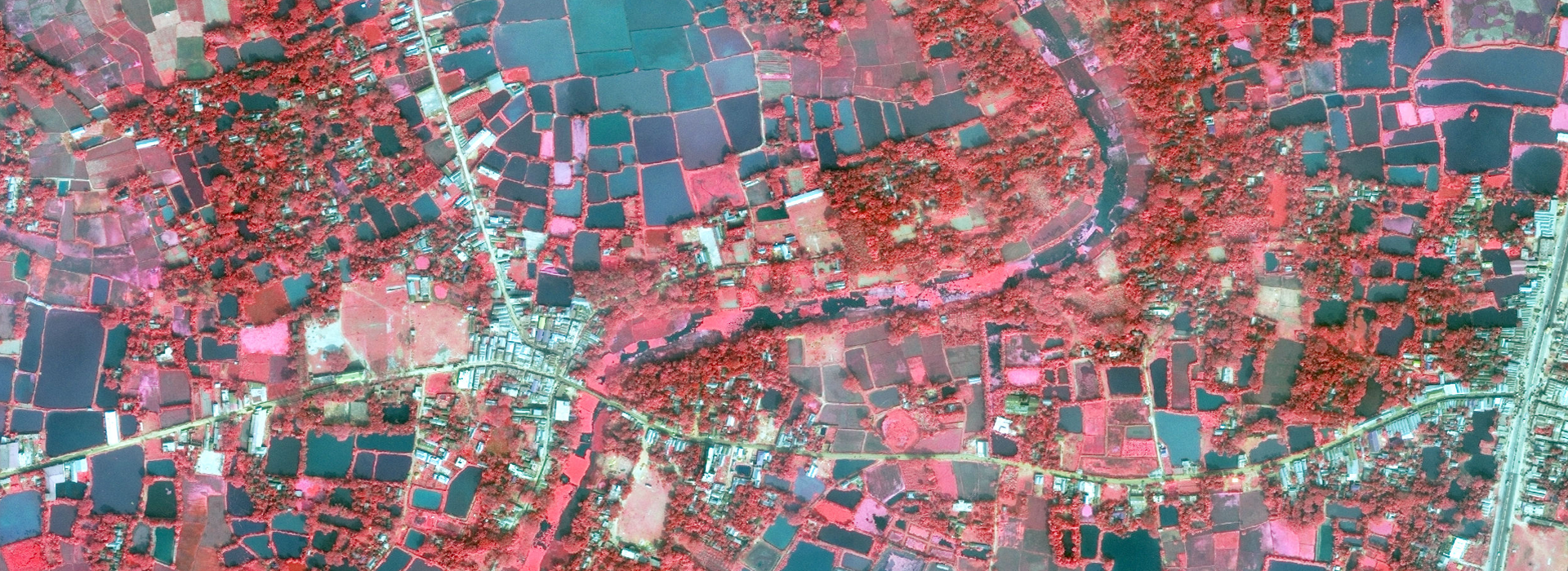
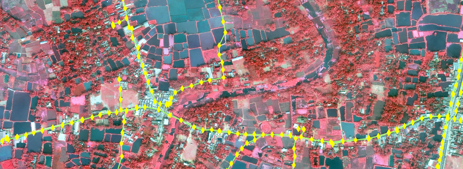
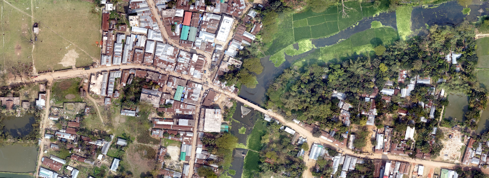
The Map Viewer module has been developed for visualizing and analyzing spatial information according to the specific area or location.

Complaint Management
The complaint management module is a system designed to efficiently handle, resolve, and analyze consumer complaints to improve service quality and reduce consumer sufferings.

User Management
The User Management module ensures the security of the application by an authentication and authorization process implemented in it.
In Collaboration With


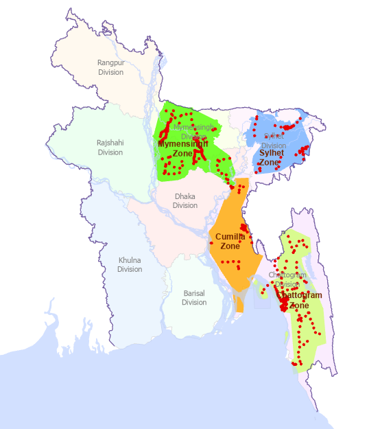
The GIS map shows up the survey pole points of different zones in Bangladesh. These zones are Mymensingh, Sylhet, Comilla and Chittagong division.